The Research Library Map and Atlases Collection ranges from the 17th century to the 21st century.
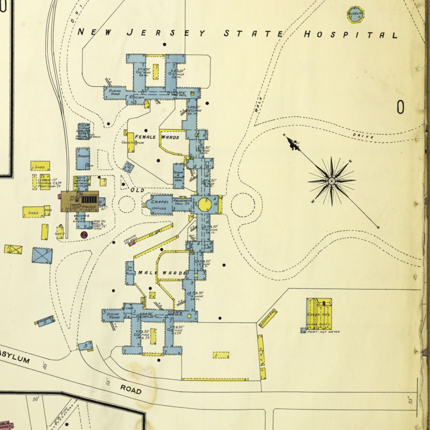
This collection includes street maps of New Jersey cities and counties, Sanborn insurance maps, historical maps and atlases of New Jersey and official state publication maps. The Sanborn maps are available on microfilm and are based on the collection in the Library of Congress.
There is an index available in the microfilm room at the NJ State Library (NJSL).
Collection Policy
This is a non-circulating collection. Generally the printed maps and atlases are not available for photocopying, either because the maps are large or they have been preserved. You are welcome to bring your own camera and equipment in order to take photographs.
Do You Still Have Questions?

Have a question? Need help with research or finding reliable information? The Research Library Ask a Librarian page is here to assist you.
Whether you’re exploring state resources, diving into historical archives, or simply looking for guidance on your next research project, our team of expert librarians is ready to help.